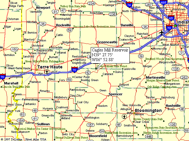
The maps on this site are best when used in conjunction with DeLorme's Indiana Atlas & Gazetteer, which offers topographic maps of the entire state. We always have one in our car.
As an Amazon Associate we earn from qualifying purchases. So, you will help fund this site if you purchase one of these books (or anything else) by clicking the link to Amazon's web site at the right.


