Below is a picture of the Jackson
Road turn to the Trailhead. It is at the top of the hill.
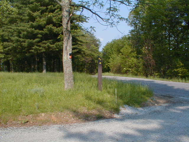
The Start of it all at Deam Lake
Trailhead :)
Jackson
Road Trailhead to Deam Lake Trailhead
on The Knobstone Trail in Indiana
(5 miles)
| Trip
Reports Click here for some trip reports with pictures. |
Topographic
Map of Trail (294K) |
Outfitters |
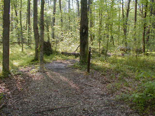
Description of Knobstone Trail from Jackson Road Trailhead to Deam Lake Trailhead (supplied by Indiana DNR)
The trail traverses two very steep
slopes before gradually dropping to moderately rolling terrain. The trail then
parallels the east shore of Deam Lake, stopping at the Deam Lake Trailhead,
the southern end of the trail. The Jackson Road to Deam Lake Trailhead segment
is approximately 5 miles in length.
Below is a picture of the Jackson
Road turn to the Trailhead. It is at the top of the hill.
The Start of it all at Deam Lake
Trailhead :)
Directions to Jackson Road and
Deam Lake Trailheads (supplied by Indiana DNR)
The Jackson Road Trailhead is located west of Jackson Road about 5 miles west of Blue Lick; the trailhead is about 0.5 mile from the trail. To get to the trail from this trailhead, walk south on Jackson Road for 0.3 mile to the county road, turn left and continue out 0.1 mile to the trail crossing-watch for the "KT" post.
To drive from the Jackson Road Trailhead to the Deam Lake Trailhead, turn right (south) from the parking lot onto Jackson Road for 0.3 mile to the county road. Turn left (east) and continue 4.2 miles to the small town of Blue Lick. At the T-intersection turn right (east) on Blue Lick/Memphis Road and continue for 1.4 miles to the McClelland Road. Turn right (south) on McClelland Road and proceed 1.2 miles to Crone Road. Turn right (west) on Crone Road and continue for 1.7 miles to Cummins Road. Turn right (northwest) on Cummins Road and continue for 1.4 miles to a T-intersection. At the intersection, turn right (northwest) and then left (west) on Wilson Switch Road.
|
||||||||||||||||||||||||||||||||||
 |
||||||||||||||||||||||||||||||||||